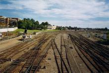
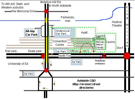
I drew this map from my head, so it might have some mistakes. The house-shaped network of roads with the red traffic light at the top is one of Adelaide's squares. This one is one-way in a clockwise direction (as most are). There are actually lights on each corner of this square. Yellow is a bridge. The one over the rail lines has a pedestrian footpath on both sides. Car parking is more expensive the closer it is to King William St. The All day park has a cheap, flat rate ($3)